Destinations / United Kingdom / Croydon / Kenley
Is Kenley safe to visit?
Yes, for most visitors, with ordinary care. Recorded crime is lower than in 62% of similar towns, the emergency department at Croydon University Hospital is 7.4 km away and floods are the main hazard on record, 9 in five years.
Checked 22 November 2026: no disaster alerts nearby in 14 days.
Risk profile for Kenley
People
Lower than 62% of UK towns of 5,000 to 20,000 people (September 2026).
Nature and health
Floods: 9 within 100 km in five years, mostly in August and December.
Emergency department 7.4 km away.
Risk score 29/100, lower is safer · method
How Kenley compares
All 7 towns we rate in Croydon score 29, like Kenley: the risks behind the score are measured for the whole country or region, not town by town.
Across the United Kingdom, 26 of the 1346 towns we rate score higher than Kenley and 777 score lower.
Same 0–100 scale as the score above · method
Ask about Kenley
Kenley month by month
November in Kenley: 4 to 10 °C, 74 mm of rain, about 8.8 hours of daylight. Five-year record nearby: 1 flood.
Driest: March, 47 mm. Wettest: October, 75 mm.
Busiest months nearby in five years: February, 1 flood; August, 3 floods; December, 2 floods.
Latest recorded near Kenley
- 1 Aug 2024 Flood
- 9 Feb 2024 Flood
- 2 Aug 2023 Flood
- 18 Dec 2022 Flood
GDACS, USGS
Crime in Kenley compared
Police recorded 75 crimes within a mile of the centre of Kenley in September 2026, lower than 62% of UK towns of 5,000 to 20,000 people.
By type, September 2026
Contains public sector information licensed under the Open Government Licence v3.0 (data.police.uk)
About Kenley
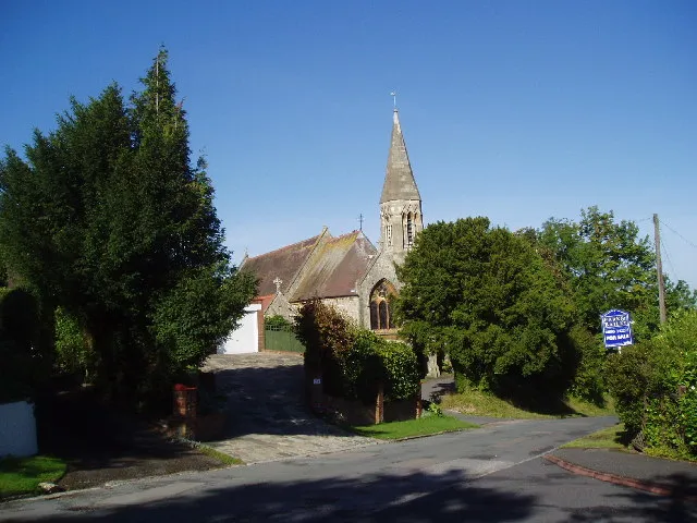
Kenley is a district in the south of the London Borough of Croydon (historically in Surrey). Population 14,966.
More on Wikipedia: Kenley. Facts: Wikidata (CC0).
Getting help in Kenley
| Emergency department | Croydon University Hospital | 7.4 km N |
|---|---|---|
| Nearest hospital or clinic | Purley War Memorial Hospital | 2.2 km NW |
| Police | Caterham Police Station | 4.9 km S |
| Railway station | Kenley | 0.3 km W |
| Airport with scheduled flights | London Gatwick Airport (LGW) | 21 km S |
More hospitals and clinics: MDOsteo Wallington, 4.1 km NW; Caterham Dene Hospital & Minor Injuries Unit, 4.6 km S.
Emergency numbers in Kenley: 112 emergency, 999 police, 999 ambulance, 999 fire.
Places near Kenley
Nearby risk scores: Kenley 29, Sanderstead 29, Coulsdon 29; the United Kingdom overall 28.
Advice alerts for United Kingdom · Embed this score
Been to Kenley?
Data last changed November 13, 2026 · Sources and licences