Destinations / United Kingdom / Derbyshire / Chellaston
Is Chellaston safe to visit?
Yes, for most visitors, with ordinary care. Recorded crime is lower than in 50% of similar towns, the emergency department at Royal Derby Hospital is 7.0 km away and floods are the main hazard on record, 5 in five years.
Checked 22 November 2026: no disaster alerts nearby in 14 days.
Risk profile for Chellaston
People
Lower than 50% of UK towns of 5,000 to 20,000 people (September 2026).
Nature and health
Floods: 5 within 100 km in five years, mostly in June and January.
Emergency department 7.0 km away.
Risk score 28/100, lower is safer · method
How Chellaston compares
Of the 24 towns we rate in Derbyshire, 0 score lower (safer) than Chellaston, 16 the same and 7 higher.
Across the United Kingdom, 569 of the 1346 towns we rate score higher than Chellaston and 224 score lower.
Same 0–100 scale as the score above · method
Ask about Chellaston
Chellaston month by month
November in Chellaston: 4 to 9 °C, 74 mm of rain, about 8.6 hours of daylight.
Driest: February, 51 mm. Wettest: October, 77 mm.
Busiest months nearby in five years: January, 1 flood; March, 1 flood; June, 2 floods.
Latest recorded near Chellaston
- 1 Jan 2025 Flood
- 21 Sep 2024 Flood
- 11 Jun 2023 Flood
- 23 Mar 2023 Flood
GDACS, USGS
Crime in Chellaston compared
Police recorded 90 crimes within a mile of the centre of Chellaston in September 2026, lower than 50% of UK towns of 5,000 to 20,000 people.
By type, September 2026
Contains public sector information licensed under the Open Government Licence v3.0 (data.police.uk)
About Chellaston
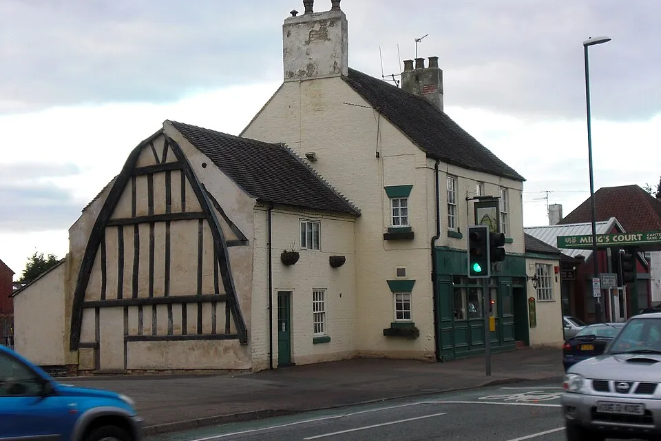
Chellaston is a village in Derbyshire, United Kingdom. It is in City of Derby. Population 15,198 (2011).
More on Wikipedia: Chellaston. Facts: Wikidata (CC0).
Getting help in Chellaston
| Emergency department | Royal Derby Hospital | 7.0 km NW |
|---|---|---|
| Nearest hospital or clinic | Cygnet Hospital Derby | 4.6 km N |
| Police | Ascot Drive Police Station | 3.4 km N |
| Railway station | Peartree | 4.1 km NW |
| Airport with scheduled flights | East Midlands Airport (EMA) | 8.4 km SE |
More hospitals and clinics: Florence Nightingale Community Hospital, 5.5 km NNW; Nuffield Health Derby Hospital, 6.8 km WNW.
Emergency numbers in Chellaston: 112 emergency, 999 police, 999 ambulance, 999 fire.
Places near Chellaston
Nearby risk scores: Chellaston 28, Littleover 28, Spondon 28; the United Kingdom overall 28.
Advice alerts for United Kingdom · Embed this score
Been to Chellaston?
Data last changed November 13, 2026 · Sources and licences