Destinations / Mexico / Jalisco / Tlaquepaque
Is Tlaquepaque safe to visit?
Governments advise against travel here. Recorded crime is lower than in 53% of similar towns, the emergency department at Nacer Humano is 4.0 km away and wildfires are the main hazard on record, 4 in five years.
The US State Department rates Jalisco, where Tlaquepaque is, Level 3: Reconsider Travel, higher than Mexico overall (Level 2).
Checked 22 November 2026: no disaster alerts nearby in 14 days.
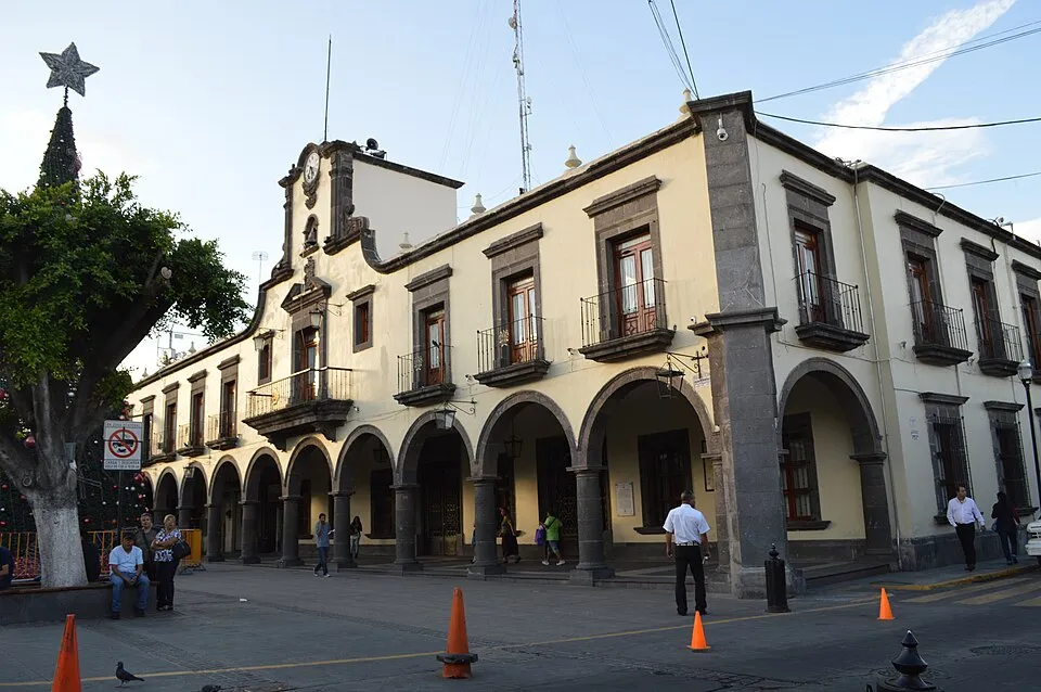
Risk profile for Tlaquepaque
People
Lower than 53% of Mexican municipalities of similar size (2025).
8 violent incidents within 50 km in five years (UCDP).
For Mexico: US advisory Level 2 since 29 May 2026; CDC: Rocky Mountain Spotted Fever in Mexico.
Nature and health
Wildfires: 4 within 100 km in five years, mostly in April and May.
Emergency department 4.0 km away.
Risk score 67/100, lower is safer · method
How Tlaquepaque compares
Of the 73 towns we rate in Jalisco, 16 score lower (safer) than Tlaquepaque, 10 the same and 46 higher.
Across Mexico, 235 of the 982 towns we rate score higher than Tlaquepaque and 664 score lower.
| Risk layer | Tlaquepaque | Median, Jalisco |
|---|---|---|
| Natural hazards | 63 | 69 |
Nearest towns in Jalisco with a lower score: Guadalajara (59, 7.4 km).
Same 0–100 scale as the score above · method
Ask about Tlaquepaque
Visitors asked
How far is Guadalajara International Airport from Tlaquepaque?
Guadalajara International Airport is 10 km south of Tlaquepaque.
Which type of crime is recorded most often in Tlaquepaque?
Robo is the most frequently recorded crime type in Tlaquepaque, with 6.0 offences per 1,000 residents in 2025.
Tlaquepaque month by month
November in Tlaquepaque: 11 to 25 °C, 13 mm of rain, about 11.1 hours of daylight.
Driest: April, 3 mm. Wettest: July, 195 mm.
Busiest months nearby in five years: April, 2 wildfires; May, 1 flood and 2 wildfires; June, 1 flood.
Latest recorded near Tlaquepaque
- 3 May 2026 Wildfire, 98 km W
- 25 Jul 2024 Flood
- 29 Apr 2023 Wildfire, 73 km SW
- 24 Apr 2023 Wildfire, 89 km NW
GDACS, USGS
Crime in Tlaquepaque compared
Prosecutors opened investigations into 16.9 offences per 1,000 residents of the municipality of San Pedro Tlaquepaque in 2025, lower than 53% of Mexican municipalities of similar size. Down 9% on 2024.
By type, 2025
Source: SESNSP, investigations opened by municipality (datos abiertos); population: Wikidata (CC0)
About Tlaquepaque
Tlaquepaque is a municipality in the State of Jalisco, Mexico. Population 687,127 (2020). Founded in 1825.
Official site: tlaquepaque.gob.mx. Facts: Wikidata (CC0).
Getting help in Tlaquepaque
| Emergency department | Nacer Humano | 4.0 km N |
|---|---|---|
| Nearest hospital or clinic | Clínica 14 IMSS | 3.4 km NE |
| Police | Modulo Policia Municipal de Tlaquepaque | 2.9 km NE |
| Railway station | Las Juntas | 2.7 km W |
| Airport with scheduled flights | Guadalajara International Airport (GDL) | 10 km S |
More hospitals and clinics: Clínica de Medicina Familiar 3, 4.1 km NNE.
Emergency number in Tlaquepaque: 911 for police, ambulance and fire.
Official advice for Mexico
Places near Tlaquepaque
Nearby risk scores: Tlaquepaque 67, Guadalajara 59, Tonalá 66; Mexico overall 64.
Advice alerts for Mexico · Embed this score
Been to Tlaquepaque?
Data last changed November 21, 2026 · Sources and licences