Destinations / Japan / Kagawa / Mannō
Is Mannō safe to visit?
Yes, for most visitors, with ordinary care. The emergency department at まるがめ医療センター is 9.3 km away and floods are the main hazard on record, 2 in five years.
Checked 22 November 2026: no disaster alerts nearby in 14 days.
Risk profile for Mannō
People
Nature and health
Floods: 2 within 100 km in five years, mostly in July.
Emergency department 9.3 km away.
Risk score 28/100, lower is safer · method
How Mannō compares
Of the 14 towns we rate in Kagawa, 0 score lower (safer) than Mannō, 11 the same and 2 higher.
Across Japan, 1137 of the 1262 towns we rate score higher than Mannō and 66 score lower.
Same 0–100 scale as the score above · method
Ask about Mannō
Mannō month by month
November in Mannō: 11 to 17 °C, 70 mm of rain, about 10.3 hours of daylight.
Driest: January, 56 mm. Wettest: July, 197 mm.
Five-year record nearby, by month: January, 1 strong earthquake; July, 2 floods; September, 1 tropical cyclone.
Latest recorded near Mannō
- 6 Jan 2026 Earthquake, magnitude 5.7, 145 km NW
- 9 Jul 2025 Flood
- 3 Jul 2022 Flood
GDACS, USGS
About Mannō
Mannō is a dissolved municipality in Nakatado district, Kagawa prefecture, Japan. Founded in 1955.
Facts: Wikidata (CC0).
Getting help in Mannō
| Emergency department | まるがめ医療センター | 9.3 km N |
|---|---|---|
| Nearest hospital or clinic | 岩佐病院 | 1.3 km SW |
| Police | 琴平警察署四條駐在所 | 0.9 km SE |
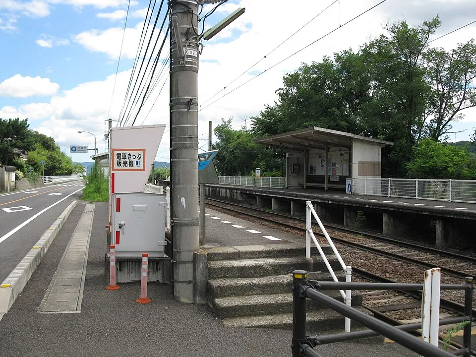
| Railway station | Enai | 0.7 km SW |
| Airport with scheduled flights | Takamatsu Airport (TAK) | 17 km E |
More hospitals and clinics: 慶昭会おおにし病院, 1.5 km WSW; 林泉会林病院, 1.8 km SW.
Emergency numbers in Mannō: 110 emergency, 110 police, 119 ambulance, 119 fire.
Places near Mannō
Nearby risk scores: Mannō 28, Zentsujichó 28, Ayagawa 28; Japan overall 39.
Advice alerts for Japan · Embed this score
Been to Mannō?
Data last changed November 12, 2026 · Sources and licences