Destinations / Iraq / Karbalā’ / Karbalā’
Is Karbalā’ safe to visit?
Governments advise against travel here. The emergency department at Imam Zain El Abidine Hospital is 1.0 km away and floods are the main hazard on record, 3 in five years.
Checked 22 November 2026: no disaster alerts nearby in 14 days.
Risk profile for Karbalā’
People
7 violent incidents within 50 km in five years (UCDP).
Nature and health
Floods: 3 within 100 km in five years, mostly in March and May.
Emergency department 1.0 km away.
Risk score 75/100, lower is safer · method
How Karbalā’ compares
Across Iraq, every town we rate has this score.
Same 0–100 scale as the score above · method
Ask about Karbalā’
Karbalā’ month by month
November in Karbalā’: 12 to 23 °C, 16 mm of rain, about 10.4 hours of daylight.
Driest: June, 0 mm. Wettest: January, 19 mm.
Five-year record nearby, by month: March, 2 floods; May, 1 flood.
Latest recorded near Karbalā’
- 25 Mar 2026 Flood
- 6 Mar 2025 Flood
- 1 May 2024 Flood
GDACS, USGS
About Karbalā’
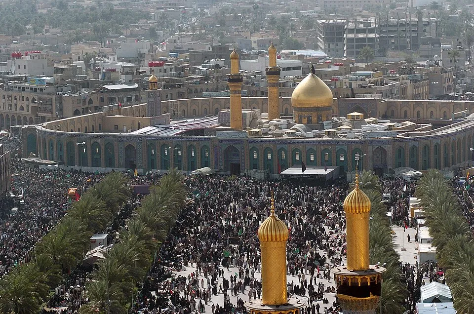
Karbalā’ is a city in Karbala Governorate, Iraq. Population 690,100 (2014). Twinned with Qom and Shahr-e Kord.
More on Wikipedia: Karbala. Facts: Wikidata (CC0).
Worth seeing near Karbalā’
- Al-Abbas's Left Handmonument, 0.3 km E
- Al-Husseini campmonument, 0.3 km SW
- Al-Abbas's Right Handmonument, 0.4 km E
© OpenStreetMap contributors
Getting help in Karbalā’
| Emergency department | Imam Zain El Abidine Hospital | 1.0 km N |
|---|---|---|
| Nearest hospital or clinic | Imam Hussein Holy Shrine Publications Center | 0.1 km SE |
| Police | دورية 34 | 0.0 km N |
| Railway station | Karbala Train Station | 8.1 km NE |
| Airport with scheduled flights | Baghdad International Airport / New Al Muthana Air Base (BGW) | 74 km N |
More hospitals and clinics: Safeer Imam Hussain Surgical Hospital, 0.2 km W; مستشفى سفير الامام الحسين(ع), 0.2 km W.
Emergency numbers in Karbalā’: 104 emergency, 104 police, 122 ambulance, 115 fire.
Places near Karbalā’
Nearby risk scores: Karbalā’ 75, Al Hindīyah 75, Al Musayyib 75; Iraq overall 75.
Advice alerts for Iraq · Embed this score
Been to Karbalā’?
Data last changed November 11, 2026 · Sources and licences