Destinations / Colombia / Boyacá / Tuta
Is Tuta safe to visit?
Only with care: the US advises reconsidering travel to this country. The emergency department at ESE Cntro hospitalario de salud de Toca is 16 km away and floods are the main hazard on record, 2 in five years.
Checked 22 November 2026: no disaster alerts nearby in 14 days.
Risk profile for Tuta
People
For Colombia: crime extreme; unrest extreme; US advisory Level 3 since 31 Mar 2026; CDC: Yellow Fever in Colombia.
Nature and health
Floods: 2 within 100 km in five years, mostly in March and July.
Emergency department 16 km away.
Risk score 69/100, lower is safer · method
How Tuta compares
Of the 29 towns we rate in Boyacá, 8 score lower (safer) than Tuta, 8 the same and 12 higher.
Across Colombia, 314 of the 686 towns we rate score higher than Tuta and 222 score lower.
Same 0–100 scale as the score above · method
Ask about Tuta
Tuta month by month
November in Tuta: 12 to 19 °C, 179 mm of rain, about 11.9 hours of daylight.
Driest: January, 57 mm. Wettest: May, 219 mm.
Busiest months nearby in five years: March, 1 flood; June, 1 strong earthquake; July, 1 flood.
Latest recorded near Tuta
- 8 Jul 2026 Flood
- 18 Mar 2026 Flood
- 10 Dec 2025 Earthquake, magnitude 5.5, 122 km N
- 8 Jun 2025 Earthquake, magnitude 6.3, 136 km S
GDACS, USGS
About Tuta
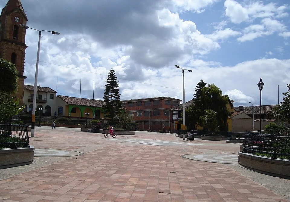
Tuta is a Colombian municipality of the department of Boyacá. It is in Central Boyacá Province. Population 9,673 (2015). Founded in 1776.
Official site: tuta-boyaca.gov.co. More on Wikipedia: Tuta, Boyacá. Facts: Wikidata (CC0).
Getting help in Tuta
| Emergency department | ESE Cntro hospitalario de salud de Toca | 16 km S |
|---|---|---|
| Nearest hospital or clinic | Puesto de Salud | 1.2 km SE |
| Police | Estacion de Policia | 1.2 km S |
| Railway station | Paipa | 15 km NE |
| Airport with scheduled flights | El Alcaravan - Yopal Airport (EYP) | 103 km SE |
More hospitals and clinics: Hospital San Vicente de Paúl, 15 km NE.
Emergency numbers in Tuta: 123 emergency, 123 police, 125 ambulance, 119 fire.
Health notes for Tuta
Tuta lies at 2,572 m. Above 2,500 m altitude illness is common in visitors who arrive from low ground and climb fast: plan an easy first day or two and see a doctor before the trip if you have heart or lung problems.
CDC Yellow Book
Places near Tuta
Nearby risk scores: Tuta 69, Cómbita 69, Toca 70; Colombia overall 70.
Advice alerts for Colombia · Embed this score
Been to Tuta?
Data last changed November 13, 2026 · Sources and licences