Destinations / Brazil / Mato Grosso / Alta Floresta
Is Alta Floresta safe to visit?
With care: risks here are above average. The nearest hospital is 0.9 km away and wildfires are the main hazard on record, 3 in five years.
Checked 17 November 2026: no disaster alerts nearby in 14 days.
Risk profile for Alta Floresta
People
For Brazil: crime extreme; unrest elevated; US advisory Level 2 since 31 Aug 2026.
Nature and health
Wildfires: 3 within 100 km in five years, mostly in August.
Hospital 0.9 km away.
Risk score 56/100, lower is safer · method
How Alta Floresta compares
Of the 44 towns we rate in Mato Grosso, 0 score lower (safer) than Alta Floresta, 5 the same and 38 higher.
Across Brazil, 794 of the 2850 towns we rate score higher than Alta Floresta and 1017 score lower.
| Risk layer | Alta Floresta | Median, Mato Grosso |
|---|---|---|
| Natural hazards | 36 | 50 |
Same 0–100 scale as the score above · method
Ask about Alta Floresta
Alta Floresta month by month
November in Alta Floresta: 23 to 30 °C, 233 mm of rain, about 12.6 hours of daylight.
Driest: July, 4 mm. Wettest: January, 321 mm.
Five-year record nearby, by month: August, 3 wildfires.
Latest recorded near Alta Floresta
- 30 Aug 2022 Wildfire, 54 km NW
- 19 Aug 2022 Wildfire, 94 km NW
- 13 Aug 2022 Wildfire, 45 km NE
GDACS, USGS
About Alta Floresta
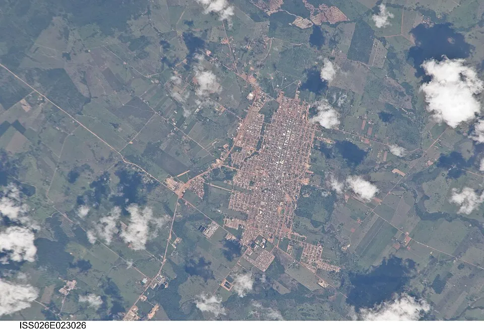
Alta Floresta is a municipality of Mato Grosso state, Brazil. Population 58,613 (2022). Twinned with São Paulo. Founded in 1976.
Official site: altafloresta.mt.gov.br. More on Wikipedia: Alta Floresta. Facts: Wikidata (CC0).
Getting help in Alta Floresta
| Nearest hospital or clinic | Hospital Regional Albert Sabin | 0.9 km S |
|---|---|---|
| Police | POLITEC Alta Floresta - Perícia Oficial e Identificação Técnica | 1.5 km SE |
| Airport with scheduled flights | Piloto Osvaldo Marques Dias Airport (AFL) | 2.5 km NW |
More hospitals and clinics: PAM (Atendimento 24h), 1.0 km S; Escritório Regional de Saúde (SES-MT), 1.0 km ESE.
Emergency numbers in Alta Floresta: 190 emergency, 190 police, 192 ambulance, 193 fire.
Health notes for Alta Floresta
Malaria occurs around Alta Floresta at a low level, about 3.6 cases per 1,000 people a year in 2025, more than in 63% of the country's towns. Ask a travel clinic whether your route needs tablets.
Malaria Atlas Project (CC BY 4.0)
Places near Alta Floresta
Nearby risk scores: Alta Floresta 56, Colíder 57, Juara 57; Brazil overall 57.
Advice alerts for Brazil · Embed this score
Been to Alta Floresta?
Data last changed November 12, 2026 · Sources and licences